Hogering and Markerkant from my drone

Hogering and Markerkant from my drone

Thursday August 30, 2018

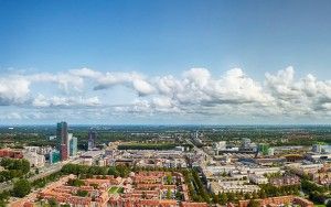
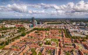
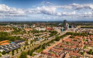
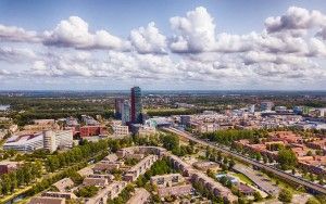
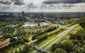
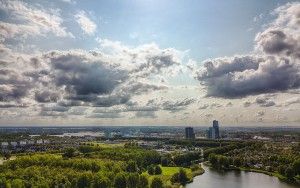
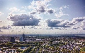
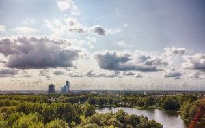
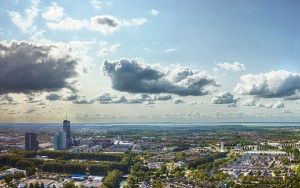
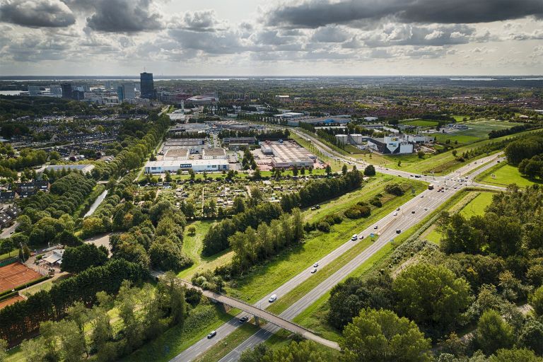
While flying my drone over a field at Noorderplaasen, I took this picture of de Hogering highway and the Markerkant industrial area nearby. On the top left you can see the high-rise of Almere citry centre. Drone rules are quite strict, you're for instance not allowed to fly near groups of buildings. I wanted to photograph the city centre of Almere from my drone, but it's full of buildings, so I looked for nearby parks without a lot of people (another rule).

  • Camera:DJI Mavic Pro Platinum
  • Aperture:f/2.2
  • Focal length:5 mm
  • ISO:100
52.392542833333 5.2226448333333
Menu
 

More photos from this event

Drone panorama of Almere city centreDrone view of the Stedenwijk neighbourhood in AlmereAlmere city centre from my droneDrone view near Almere city centreTennis courts from my droneDrone view of business district of AlmereAlmere city centre drone panoramaAlmere city centre from my droneTop-down drone picture of Beatrixpark in AlmereTennis courts and high-rise from my dronePark patterns from my drone.Beatrixpark and Almere city centre from my droneWaterwijk in Almere from my droneNoorderplassen in Almere from my droneHogering and Markerkant from my droneAbstract beach patterns from my droneDrone picture from Leeghwaterplas in AlmereAlmere city centre and Waterwijk from my droneDrone picture of Hanny Schaftpark in AlmereDrone panorama of Waterwijk in Almere